


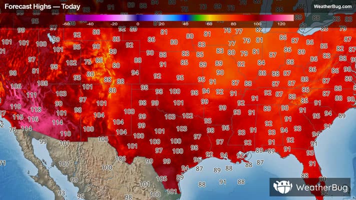
Severe Storms Erupt Across Middle Mississippi Valley
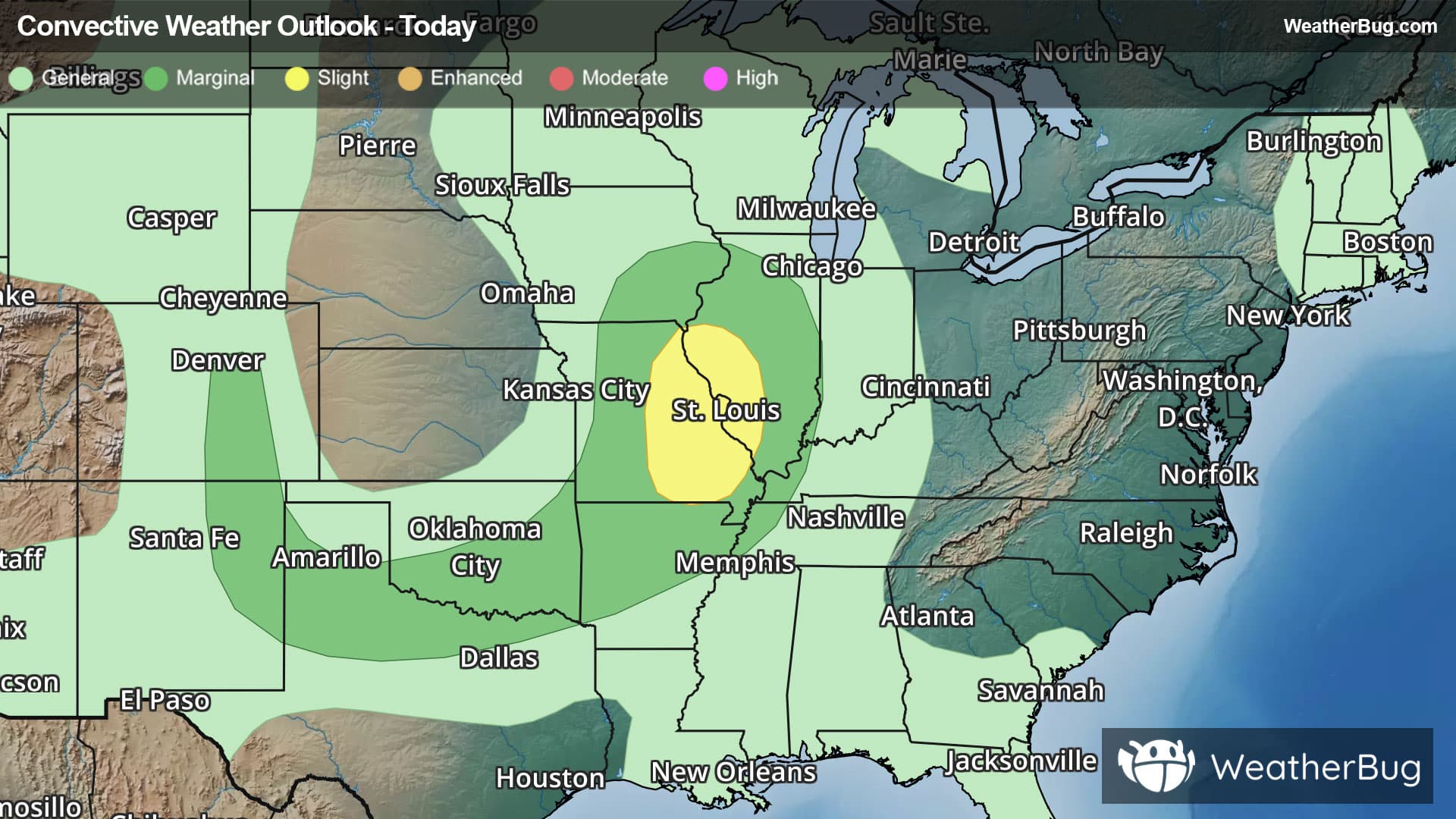
An area of strong to severe thunderstorms will develop across the Middle Mississippi Valley today, mainly this afternoon and evening.
A warm and humid air mass is in place across parts of Missouri and Illinois today. This combined with a disturbance swinging down from the northwest will cause scattered showers and thunderstorms, generally this afternoon and evening. Some of the thunderstorms will have the potential to produce heavy downpours, damaging wind gusts up to 50-60 mph, hail and even an isolated tornado.
The government's Storm Prediction Center has issued a Slight Risk (level 2 out of 5) for parts of eastern and central Missouri and parts of western Illinois. Cites included under this risk include St. Louis and Columbia, Mo., Rolla, Mo. and Springfield, Ill.
The storm system's cold front will trigger scattered thunderstorms further east on Saturday, with strong to severe storms possible in the Ohio and Tennessee valleys.
Be sure to know the difference between a watch and a warning. A watch means that the conditions are in place to possibly produce severe weather conditions, while a warning indicates that those conditions are currently occurring. Be sure to have multiple ways to receive warnings, as storms will be occurring late tonight. Also, take caution if you are outdoors during a thunderstorm. Remember, “When Thunder Roars, Go Indoors!”